Hazards: process, phenomenon and human activity
Learn about common hazards, the latest research on risk trends and solutions to reduce their impact.
Hazards are activity that may cause health impacts, property damage, social and economic disruption or environmental degradation.
Hazards
With these links, you can learn about common hazards and explore their latest additions in the PreventionWeb Knowledge Base.
- Avalanche
Snow avalanche, snow slide, glacier avalanche. - Cold Wave
Extreme weather/temperature, cold temperatures, cold spell, cold air outbreak. - Cyclone
Hurricane, tropical storm, tropical cyclone, tropical depression, typhoon. - Drought
Deficiency of precipitation, desertification, pronounced absence of rainfall. - Earthquake
Earth tremor, seism, human-induced earthquake. - Epidemic and pandemic
Epidemic: bubonic plague, cholera, dengue, non-pandemic diseases, typhoid; Pandemic: H1N1, HIV, smallpox, tuberculosis. - Flood
Inundation, flash floods, Glacial Lake Outburst Flood, snowmelt flood, fluvial flood, surface water flooding. - Heatwave
Extreme weather, extreme temperature, high temperatures. - Insect infestation
Pest infestation, Invasion, swarm, outbreak, plague. - Landslide
Mass movement, debris flow, mud flow, mudslide, rockfall, slide, lahar, rock slide and topple. - Nuclear, biological, chemical (NBC)
Biohazard risk, chemical contamination, nuclear radiation risk, radioactive material, gas leaks. - Storm surge
Seawater level rise during storms. - Technical disaster
Explosions, collapses, urban fire, technical (dam, bridge) failure, rail accident, water supply failure, emergency telecommunications failure, outage, malware, ICT-related hazards. - Tornado
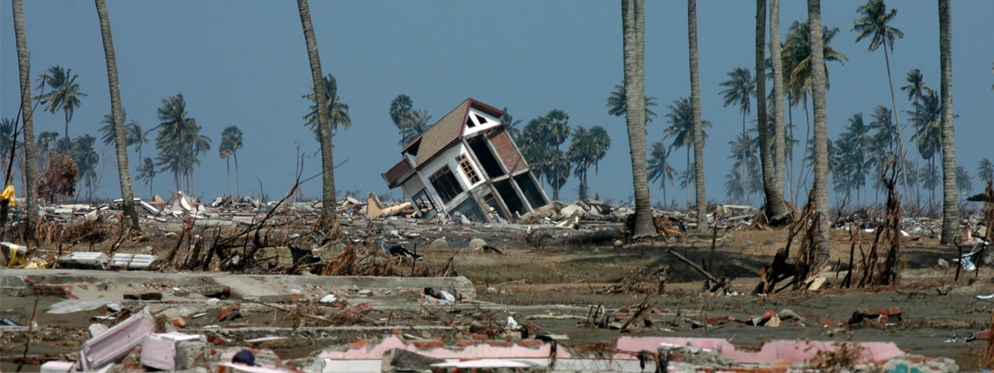
Waterspout, land sprout, twister, vortex, whirlwind. - Tsunami
A tsunami is a series of waves in a water body caused by the displacement of a large volume of water, generally in an ocean or a large lake. - Volcano
Lava, ash/tephra fall, molten materials, debris flow/lahars, pyroclastic flows, volcanic rock, volcanic gases. - Wildfire
Bush fire, forest fire, peat fire, grass fire, uncontrolled fire, wildland fire.
Other hazards
PreventionWeb has collection pages on additional hazards, that are not part of the taxonomy, but where you can still find relevant content.
- Sand and dust storms
Sand and dust storms usually occur when strong winds lift large amounts of sand and dust from bare, dry soils into the atmosphere. - Fall armyworm
The fall armyworm is an insect that can cause significant damage to crops, especially maize.
Related to this
Learning from past disasters
Are you interested in how past disasters are informing DRR planning? Do you wish to find more information on notable disasters?
These collections explore the lessons learned from past disasters, what were the risk drivers, impacts and efforts towards building back better.
Effective disaster risk reduction requires the consideration of not just what has occurred, but of what could occur. Most disasters that could happen have not yet happened.
Go further with PreventionWeb