PreventionWeb
Menu
Case Study
Author(s) GFDRR

Mapping local communities to inform response and recovery in Nepal

Source
Global Facility for Disaster Reduction and Recovery, the (GFDRR)

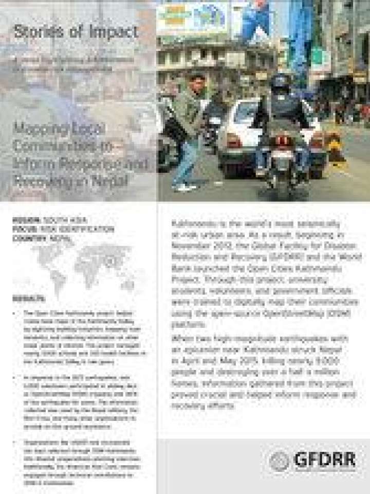
Kathmandu is the world’s most seismically at-risk urban area. As a result, beginning in November 2012, the Global Facility for Disaster Reduction and Recovery (GFDRR) and the World Bank launched the Open Cities Kathmandu Project. Through this project, university students, volunteers, and government officials were trained to digitally map their communities using the open-source OpenStreetMap (OSM) platform.

When two high-magnitude earthquakes with an epicenter near Kathmandu struck Nepal in April and May 2015, killing nearly 9,000 people and destroying over a half a million homes, information gathered from this project proved crucial and helped inform response and recovery efforts.

Stories of Impact is a series highlighting achievements in disaster risk management.


Download

Mapping Local Communities to Inform Response and Recovery in Nepal PDF, 1.5 MB English

Last checked: 26 September 2022

Explore further

Hazards Earthquake
Themes Preparedness GIS and mapping Data and information management Recovery Urban risk and planning
Country and region Nepal
Number of pages
2 p.
Publication year
2016

Also featured on

PreventionWeb

Is this page useful?

Yes No
Report an issue on this page

Thank you. If you have 2 minutes, we would benefit from additional feedback (link opens in a new window).

The International Recovery Platform (IRP) is a global partnership working to strengthen knowledge, and share experiences and lessons on building back better in recovery, rehabilitation, and reconstruction.

Latest IRP videos and photos: YouTube Flickr Contact IRP

Loading