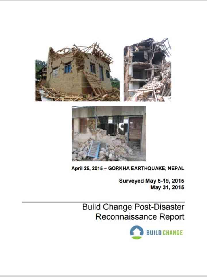
On April 25, 2015, at 11:56 am local time, a M7.8 earthquake occurred in Nepal, centered 34 km ESE of Lamjung. This earthquake is referred to as the Gorkha Earthquake, named for the Gorkha district of Nepal where it was centered. Seventeen days later, on May 12th at 12:50 pm local time, an earthquake of M7.3, this one centered 19 km SE of Kodari, again shook Nepal, although this second large earthquake is considered an aftershock of the April 25th event. The earthquake and aftershocks were the result of thrust faulting between the subducting India plate and the overriding Eurasia plate to the north. The plates are converging at a rate of 45 mm/year towards the north-northeast.
Although final numbers are not yet available, it is estimated that the earthquake and the ensuing aftershocks killed nearly 8,700 people and injured over 16,800. One month after the earthquake, the National Society for Earthquake Technology - Nepal (NSET) was reporting that over 500,000 houses were considered completely destroyed and over 269,000 houses were partially damaged. Of government buildings, nearly 1,000 were completely destroyed and over to 3,000 were partially damaged.
The Nepal government is evaluating damage to the public schools, but field observations have indicated that many public school buildings have been destroyed or damaged beyond repair. The government was trying to have detailed assessments done on all public school buildings as quickly as possible, to post all school buildings with either a green “safe” or red “unsafe” tag, with no intermediate yellow tags. Some reports have indicated that nearly 7,000 public schools have been destroyed. Unfortunately, this effort and these numbers do not include the many private schools in Nepal.
Explore further
