Kerala Floods, 2018 - A Study on Emergency Supply Chain Logistics In Kuttanad, Alapuzzha Volume Ⅱ
This report constitutes Volume II (Book of Maps) of the study titled Kerala Floods, 2018 – A Study on Emergency Supply Chain Logistics in Kuttanad, Alappuzha, prepared by the Tata Institute of Social Sciences (TISS). It complements Volume I by providing spatial documentation of emergency response infrastructure across Kuttanad Taluk, one of the regions most severely affected by the 2018 floods. The mapping exercise was undertaken at the request of the Government of Kerala and the Kerala State Disaster Management Authority (KSDMA).
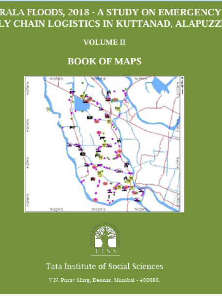
The volume compiles detailed GIS-based maps generated from field data collected using smartphone-based geo-referencing and processed through ArcGIS. The maps cover multiple panchayats and depict the locations of gruel centres, animal camps, culverts and bridges, and Public Distribution System (PDS) outlets. By visually integrating these features, the report enables a clearer understanding of the spatial distribution of relief facilities and supply-chain nodes during the flood emergency.
Overall, the Book of Maps strengthens disaster preparedness and response planning by providing a spatial evidence base for analyzing last-mile delivery of food and essential supplies during floods. It supports government agencies and disaster managers in identifying coverage gaps, infrastructure bottlenecks, and priority areas for intervention, thereby contributing to improved emergency logistics planning and more resilient disaster response systems in flood-prone regions.
Explore further