PreventionWeb

PreventionWeb

Knowledge

  • Global Assessment Report (GAR)
  • PreventionWeb

Special Events

  • Global Platform
  • International Day for Disaster Reduction
  • World Tsunami Awareness Day

Tools

  • Sendai Framework Monitor
  • Voluntary Commitments

UNDRR

irp_logo

IRP Logo

IRP - Main Navigation

  • About
    • Overview
    • Vision, Mision, Goals
    • Steering Commitee
    • IRP Secretariat
    • Contact us
  • Learn From Experience
    • Overview
    • Disasters
    • Countries
  • Build Back Better
    • Overview
    • Guidance for Disaster Recovery
    • Post-Disaster Needs Assessments
      • About PDNA
      • Post-Disaster Needs Assesments (PDNA)
      • Covid-19 Recovery Needs Assesment (CRNA)
    • Disaster Recovery Framework
    • Themes in Recovery
    • IRP Steering Committee Organizations
    • All Recovery Resources
    • Recovery Help Desk
  • News & events
    • Overview
    • News & Events
    • International Recovery Forum
    • Training
    • IRP Herald
  • 日本語

Menu


IRP - Main Navigation
  • About
    • Overview
    • Vision, Mision, Goals
    • Steering Commitee
    • IRP Secretariat
    • Contact us
  • Learn From Experience
    • Overview
    • Disasters
    • Countries
  • Build Back Better
    • Overview
    • Guidance for Disaster Recovery
    • Post-Disaster Needs Assessments
      • About PDNA
      • Post-Disaster Needs Assesments (PDNA)
      • Covid-19 Recovery Needs Assesment (CRNA)
    • Disaster Recovery Framework
    • Themes in Recovery
    • IRP Steering Committee Organizations
    • All Recovery Resources
    • Recovery Help Desk
  • News & events
    • Overview
    • News & Events
    • International Recovery Forum
    • Training
    • IRP Herald
  • 日本語
  1. Documents and publications

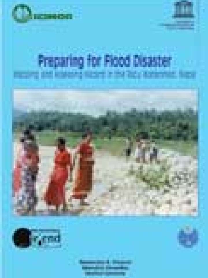
Preparing for flood disaster: mapping and assessing hazard in the Ratu watershed, Nepal


Documents and publications
Author(s)
Khanal, Narendra R.; Shrestha, Mandira; Ghimire, Motilal
Source
International Centre for Integrated Mountain Development
Publication Year
2007
ISBN/ISSN/DOI
9789291150182
Number of pages
102 p.

This study documents the use of flood-hazard mapping as a way of helping communities to devise plans that would help them develop warning and response systems. It allows communities to prepare a management plan that will boost their resilience to mitigate damages and salvage their livelihoods to the extent possible. This study and flood-hazard mapping of the Ratu Khola watershed in Nepal seeks to encourage others to undertake similar work.

This publication is a summary of a detailed study on flood-risk and vulnerability mapping of the Ratu Khola using GIS methods. It is divided into four chapters. Chapter One describes the biophysical and socioeconomic characteristics of Nepal, discusses the types, frequency, and magnitude of losses from different types of natural disaster and their spatial concentration with special reference to flood disasters, and assesses the vulnerability to flood hazards in the country. Chapter Two describes flood-hazard and risk mapping in the Ratu Watershed. This chapter provides details of the project area and the methodology for and results of hazard, risk, and vulnerability mapping. Chapter Three gives an account of the assessment carried out on response and resilience in the context of hazard, risk, and vulnerability in the Ratu Watershed. Chapter Four covers the main findings, conclusions, and recommendations.

Share this
recovery.preventionweb.net/quick/39915 Copy to clipboard
Also featured on

PreventionWeb

Download
Download file
Keywords
Hazards
Flood
Themes
Community-based DRR
Early Warning
Recovery
Risk Identification & Assessment
GIS & Mapping
Country & Region
Nepal

Stay in touch

Sign up for UNDRR updates

UNDRR Tools

  • Making Cities Resilient
  • PreventionWeb
  • Sendai Framework Monitor
  • Voluntary Commitments

Contact us

Sendai Framework

© UNDRR

Footer

  • Fraud Alert

Sustainable Development Goals Logo