PreventionWeb

style="color:#FFFFFF; font-family:'urw_font'; font-size: 32px";>PreventionWeb

Knowledge

  • Global Assessment Report (GAR)
  • PreventionWeb

Special Events

  • Global Platform
  • International Day for Disaster Reduction
  • World Tsunami Awareness Day

Tools

  • Sendai Framework Monitor
  • Voluntary Commitments

UNDRR

irp_logo

IRP Logo

IRP - Main Navigation

  • About
    • Overview
    • Vision, Mision, Goals
    • Steering Commitee
    • IRP Secretariat
    • Contact us
  • Learn From Experience
    • Overview
    • Disasters
    • Countries
  • Build Back Better
    • Overview
    • Guidance for Disaster Recovery
    • Post-Disaster Needs Assessments
      • About PDNA
      • Post-Disaster Needs Assesments (PDNA)
      • Covid-19 Recovery Needs Assesment (CRNA)
    • Disaster Recovery Framework
    • Themes in Recovery
    • IRP Steering Committee Organizations
    • All Recovery Resources
    • Recovery Help Desk
  • News & events
    • Overview
    • News & Events
    • International Recovery Forum
    • Training
    • IRP Herald
  • 日本語

Menu


IRP - Main Navigation
  • About
    • Overview
    • Vision, Mision, Goals
    • Steering Commitee
    • IRP Secretariat
    • Contact us
  • Learn From Experience
    • Overview
    • Disasters
    • Countries
  • Build Back Better
    • Overview
    • Guidance for Disaster Recovery
    • Post-Disaster Needs Assessments
      • About PDNA
      • Post-Disaster Needs Assesments (PDNA)
      • Covid-19 Recovery Needs Assesment (CRNA)
    • Disaster Recovery Framework
    • Themes in Recovery
    • IRP Steering Committee Organizations
    • All Recovery Resources
    • Recovery Help Desk
  • News & events
    • Overview
    • News & Events
    • International Recovery Forum
    • Training
    • IRP Herald
  • 日本語
  1. Home
  2. publication
  3. Documents and publications

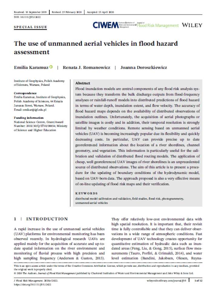
The use of unmanned aerial vehicles in flood hazard assessment


Documents and publications
Author(s)
Karamuz, Emilia; Romanowicz, Renata J.; Doroszkiewicz, Joanna
Source
Journal of Flood Risk Management (Wiley)
Publication Year
2020
ISBN/ISSN/DOI
10.1111/jfr3.12622 (DOI)
Number of pages
12 p.

The accuracy of flood hazard maps depends on the availability of distributed observations of inundation outlines. Unfortunately, the acquisition of aerial photographs or satellite images is costly and in addition, their temporal resolution is strongly limited by weather conditions. Remote sensing based on unmanned aerial vehicles (UAV) is becoming increasingly popular due to its flexibility and quickly decreasing costs. This study highlights that UAV can provide precise up to date georeferenced information about the location of river shoreline, channel geometry, and vegetation.

This information, authors argue, is particularly useful for the calibration and validation of distributed flood routing models. The aim of this article is to present a procedure for the updating of boundary conditions of the hydrodynamic model, based on UAV‐born data. However, there are many new problems to be solved related to the accuracy of the UAV‐based observations. New techniques are being developed regarding the methods of acquisition of UAV‐based data on processing newly obtained observations.

Share this
Also featured on

PreventionWeb

Download
Download file
Related information
Related links
How drones can monitor explosive volcanoes
Portugal counts on drones to bolster defences against wildfires during pandemic
In East Africa: a race to outsmart locusts with drones and data
Keywords
Hazards
Flood
Themes
Recovery
Risk Identification & Assessment

Stay in touch

Sign up for UNDRR updates

UNDRR Tools

  • Making Cities Resilient
  • PreventionWeb
  • Sendai Framework Monitor
  • Voluntary Commitments

Contact us

Sendai Framework

© UNDRR 2020 -2022

Sustainable Development Goals Logo