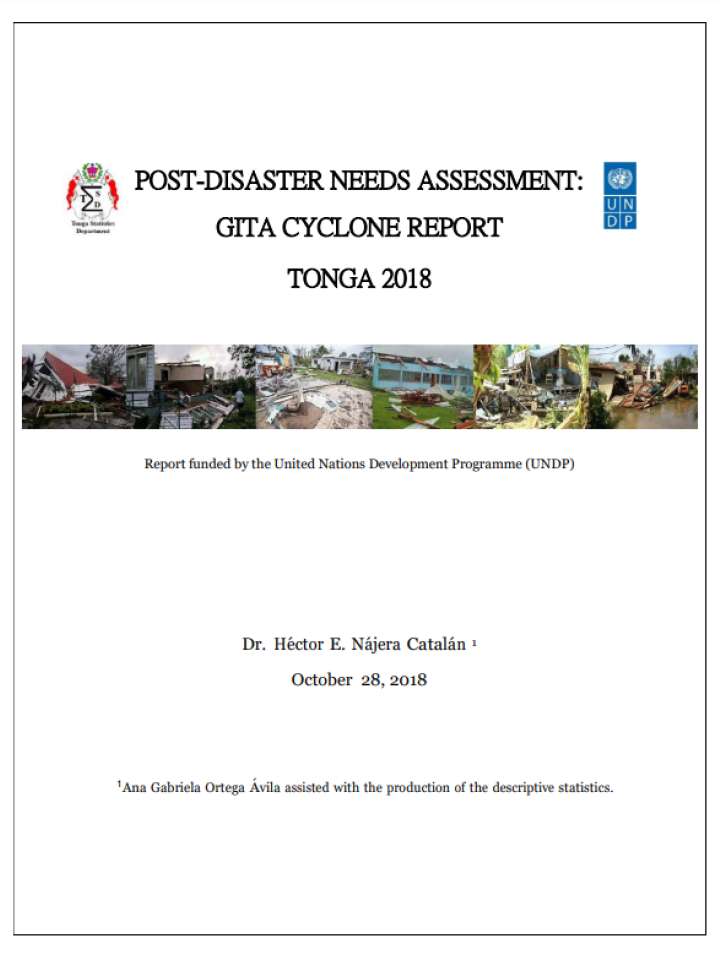
Post-Disaster Needs Assessment: Gita Cyclone Report Tonga 2018
Typhoon GITA, with peak wind speeds of 233 km/h, hit the south coast of Tongatapu - the main island of the Kingdom of Tonga - at 8pm on 12th February 2018 and its intensity peaked between 11pm and 2am. This was the strongest storm to pass so close to the main island in the last 60 years.
The government of Tonga declared a state of emergency and policy makers urgently needed high quality and up-to-date information about the extent and distribution of the damage and the location of the most vulnerable people in order to prioritise the recovery and reconstruction efforts. The Statistical Department of Tonga reacted quickly to the emergency by undertaking a rapid post-disaster needs assessment (PDNA) survey to assess the nature, extent and distribution of damage in the main islands. The PDNA consisted in a census in Tongatapu and Eua (N=76,286), where around 75% of the Tongan population live, to assess the extent, characteristics and distribution of the damage caused by GITA.
This document uses the post-disaster data collected by the Statistical Department to describe the characteristics of the affected population, nature and spatial concentration of the damage, and the aid required and received at the time of the interview by the Tongan population.

