This annually released booklet aims at further promoting disaster risk reduction activities by demonstrating positive examples collected from different countries.
This study provides an overview and guidelines for rehabilitation of mangroves and other coastal forests. The guidelines include the rationale for rehabilitation; choice of species; site selection and preparation; propagation and planting; monitoring and tending; and case studies.
This publication summarizes the outcomes of a UNESCAP initiative which intended to promote regional partnerships and enhance replicability of good practices conducted in South-East Asia regarding the rehabilitation and
These three sectoral reports were produced to complete the Malaysian National slope master plan 2009-2023 with the aim of formulating a detailed, comprehensive and effective framework of policies, strategies and action plans to reduce risks from landslides on slopes nationwide. The plan included activities at the national, state and local levels in both the public and private sectors.
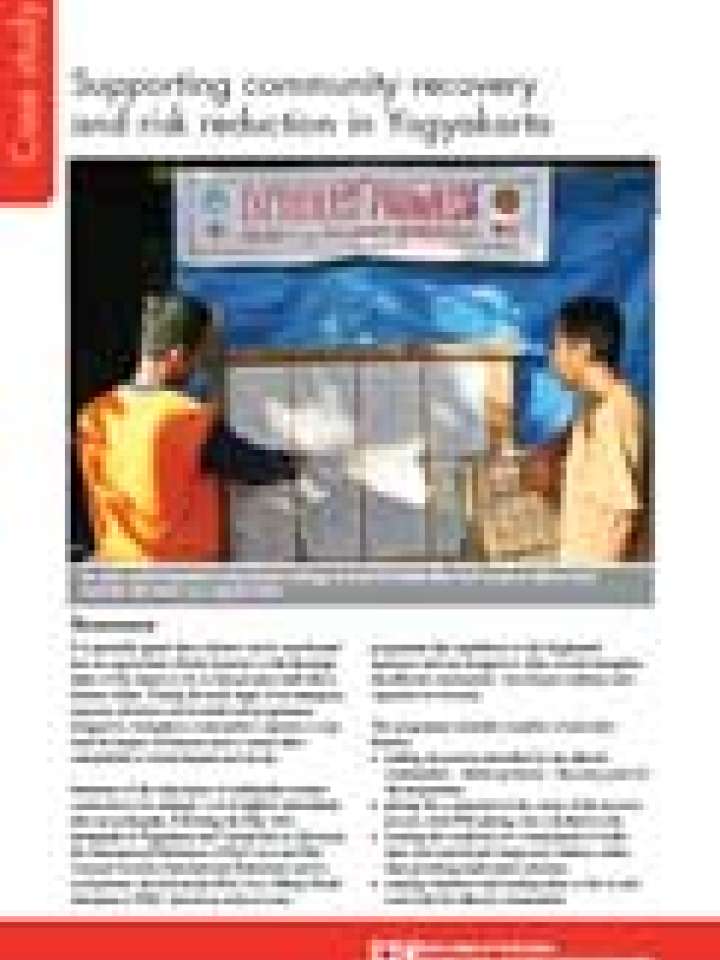
This paper advocates for decisions to be made and programmes designed in order to strengthen a community’s capacity to cope with the impact of disasters and to reduce their vulnerability to future hazards and shocks during the early stages
This assessment report of the 2008 earthquake in China is part of UNCRD's research project on community-based disaster prevention and housing earthquake strengthening projects. It reviews the recovery plan for urban and rural housing reconstruction, which
This concept note addresses one main lesson learned by United Nations agencies regarding international disaster assistance following the 12 January 2010 earthquake in Haiti: to build back better. The paper states that short term emergency
Illustrating a wide range of practical applications, this book explains how hospitals and healthcare facilities can improve their emergency management and disaster preparedness through the use of GIS. It aims to raise the level of understanding of the