Navigation failed to load. If you are on the UNDRR office network, your browser may be blocking access to external resources. Learn how to allow access.
This paper presents a comprehensive critical review of 250 studies published between January 2010 and September 2023 that examine how social media data have been used to manage disasters triggered by natural hazards.
This study examines communities’ mobility responses and resilience patterns during Typhoon Doksuri in 2023 using anonymized mobile data from 3.7 million users across six coastal cities of Fujian, China.
International Journal of Applied Earth Observation and Geoinformation (IJAEOG)
Satellite-detected night lights data are widely used to evaluate economic impacts of disasters. But growing evidence in applied economics suggests that impact estimates are potentially distorted when popular DMSP night lights data are used.
Economics of Disasters and Climate Change (Springer)
Analyzing how big data can help countries swiftly analyze disaster impacts, mobilize resources, and implement recovery strategies, this brief considers governance and security challenges around the technology that can cut the cost of major events.
This paper argues that social media platforms present a significant potential of data sources to operationalize the provisions of the Sendai Framework.
This brief explores how new satellite imagery technology can help predict the impact of tropical cyclones in climate vulnerable countries such as Fiji, analyze their potential compounding effects, and improve disaster risk management.
This report aims to examine data on disaster losses related to infrastructure damage and service disruption in Post Disaster Needs Assessments (PDNAs) submitted by nations between 2010 and 2020, and to identify where gaps still exist in PDNA reporting.
United Nations Office for Disaster Risk Reduction (UNDRR)
Here we explore “social sensing” – the systematic collection and analysis of social media data to observe real-world events – as a method to locate and characterise the impacts (social, economic and other) of the 2018 Kerala Floods.
International Journal of Disaster Risk Reduction (Elsevier)
This update assesses the impacts of the Hunga Tonga–Hunga Haʻapai volcanic eruption and tsunami on agriculture, livelihoods, and food security in Tonga, using geospatial and sectoral analysis to inform response and recovery.
Food and Agriculture Organization of the United Nations (FAO)
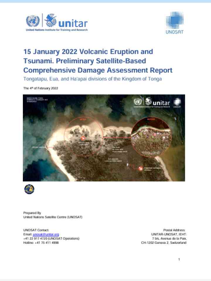
This report presents a satellite-based assessment of building, road, and vegetation damage caused by the January 2022 volcanic eruption and tsunami across Tongatapu, ʻEua, and Haʻapai in Tonga.