Navigation failed to load. If you are on the UNDRR office network, your browser may be blocking access to external resources. Learn how to allow access.
This study develops habitability functions to quantify the relationship between hydrodynamic hazards and the probability of buildings becoming uninhabitable following Hurricane Irma.
This paper presents a multi-scale tiered approach to post-disaster infrastructure characterisation, demonstrating how automated damage characterisation can be achieved using digital technologies.
This paper presents a method for rapid evaluation of direct flood damage using Google Earth Engine (GEE) for swift action in flood-related disaster response, recovery, and reconstruction.
International Journal of Disaster Risk Reduction (Elsevier)
This study focused on postdisaster impact assessments for specific crops using remote sensing data, for the Missouri River floods of 2019 in the United States and the Henan flood of 2021 in China.
This paper argues that social media platforms present a significant potential of data sources to operationalize the provisions of the Sendai Framework.
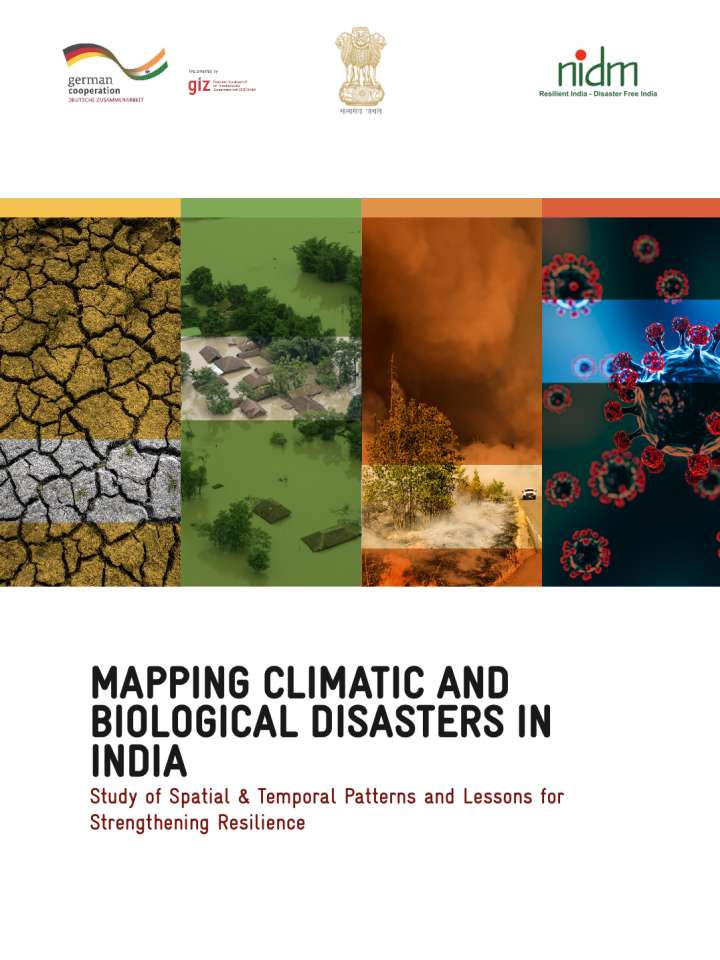
Spatio-temporal mapping of climatic and biological disaster outbreak in India has been undertaken using historical data and scientific tools to explore options to support for relief, recovery, resilience, and adaptation.
Federal Ministry for Economic Cooperation and Development
Deutsche Gesellschaft für Internationale Zusammenarbeit (GIZ)
This study suggests a three-step rapid assessment method designed for earthquake-induced landslide casualties based on the GIS and an associated logistic regression model.
Geomatics, Natural Hazards and Risk (Taylor & Francis)
This report presents a detailed landslide susceptibility assessment for Thiruvambadi Grama Panchayath in Kozhikode district, Kerala, using GIS-based analysis to support preparedness, mitigation, and local disaster risk management.
This volume presents geospatial maps documenting gruel centres, animal camps, public distribution systems, and critical infrastructure in flood-affected panchayats of Kuttanad, Alappuzha, to support disaster response analysis.
This guidance note was drafted to document lessons learned in the three project countries (Nepal, Sri Lanka, Côte d'Ivoire) and in doing so, it provides a step-by-step practical guide for countries in post-crisis situations to undertake Post-Crisis Integrated Strategic Environmental Assessments (Integrated SEA). The Integrated SEA approach builds upon current SEA practices, while placing greater emphasis on integrating disaster risk and climate change impacts into a participatory data collection, mapping and planning process.
United Nations Environment Programme (UNEP)
Climate and Pollution Agency, Norwegian Ministry of the Environment